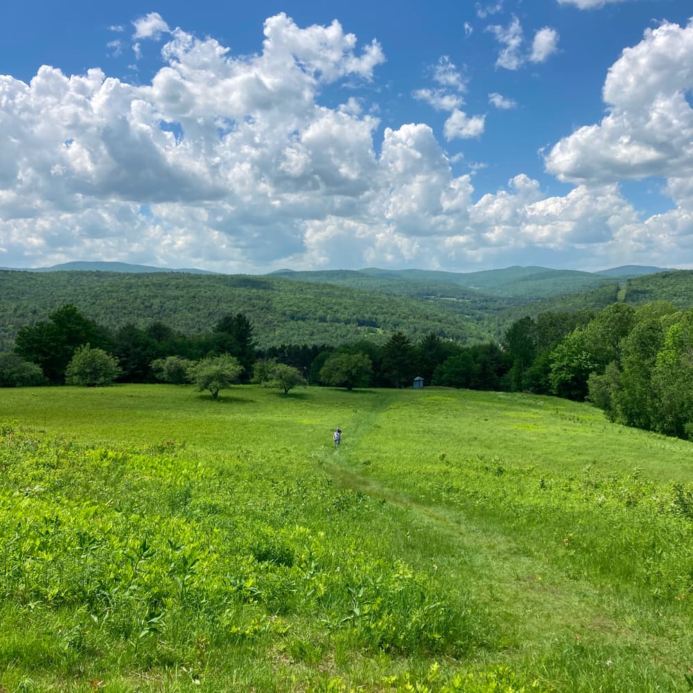
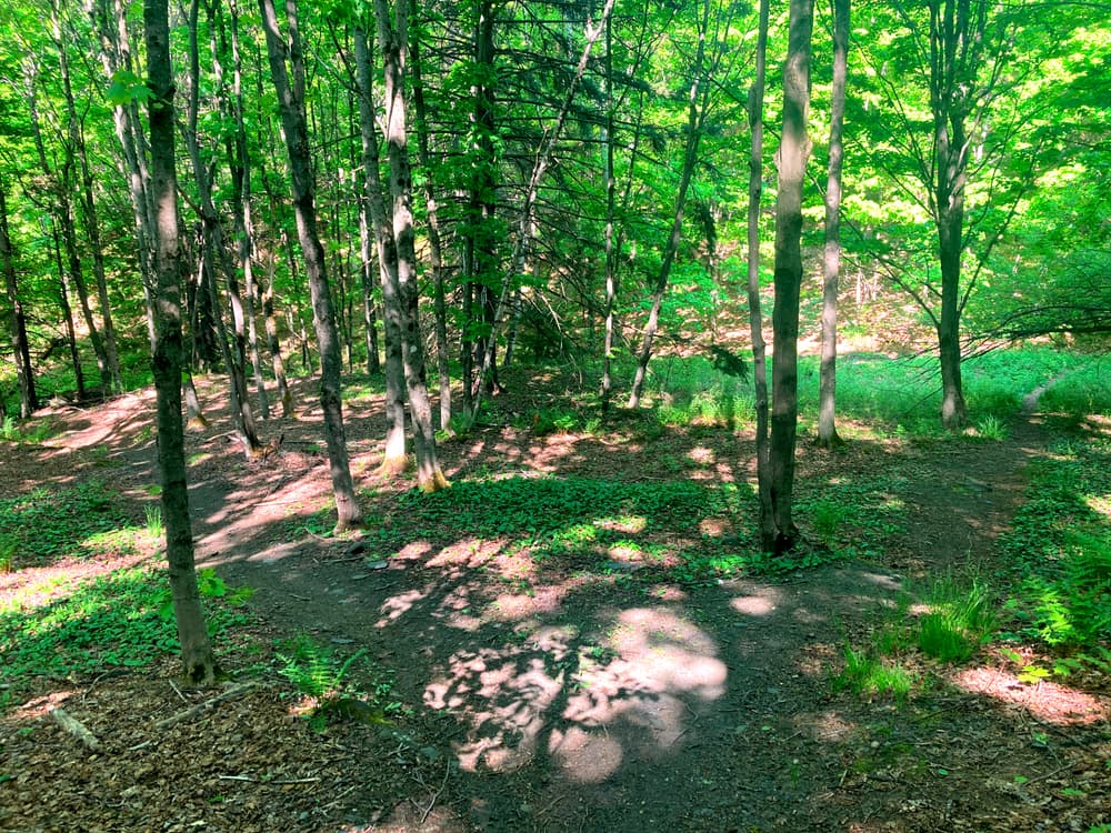
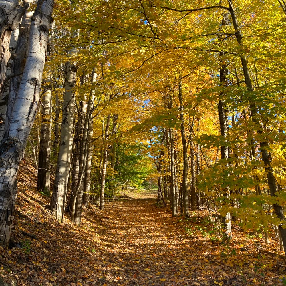
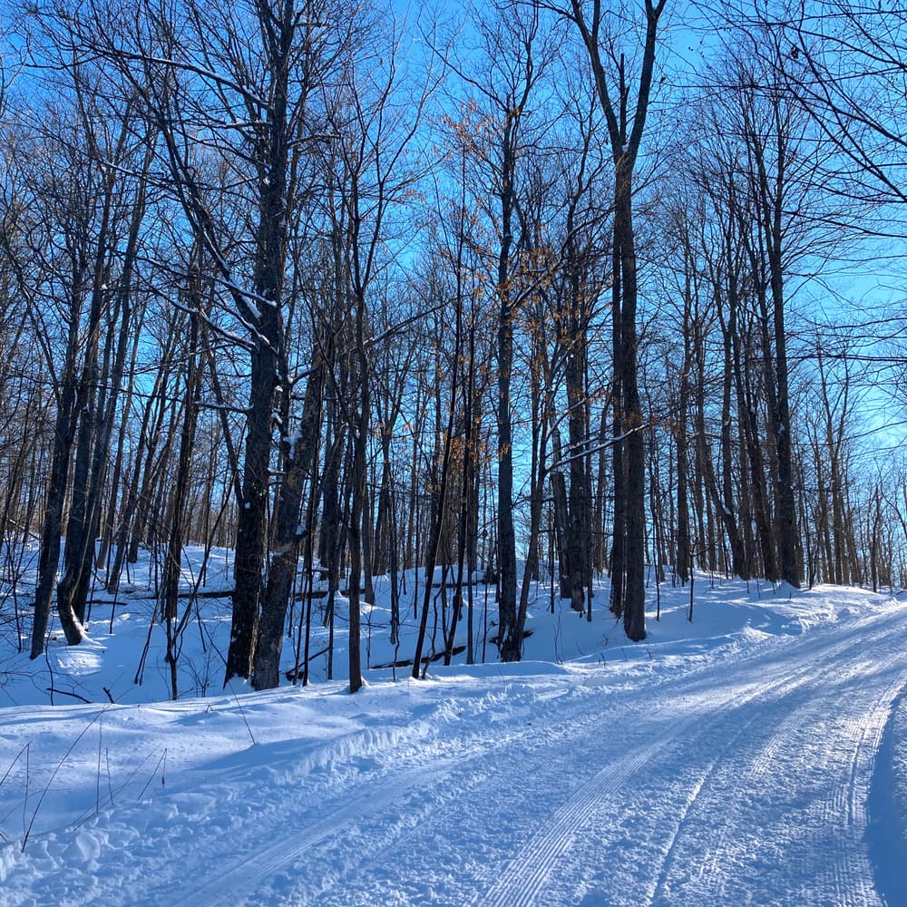
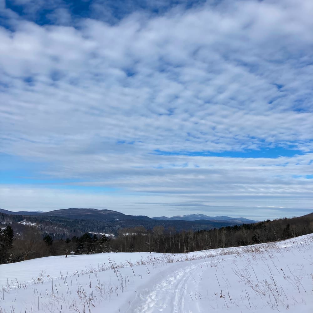
These trails travel through the Northfield Town Forest as well as Norwich University land. The land is part of a large block of contiguous forest running north-south along the Irish Hill-Paine Mountain Ridge. The lands also includes wetlands, beaver ponds, and open fields, in which wildflowers can be enjoyed at the right time of year.
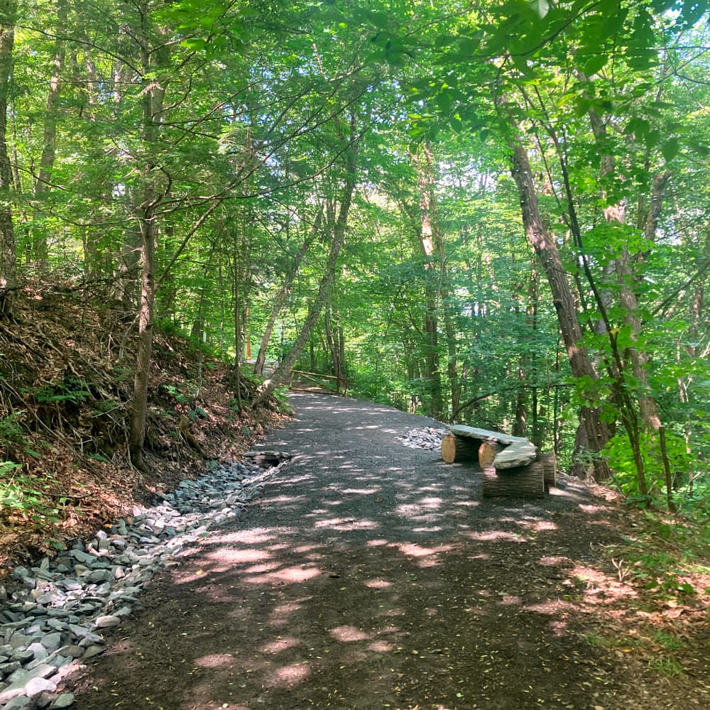
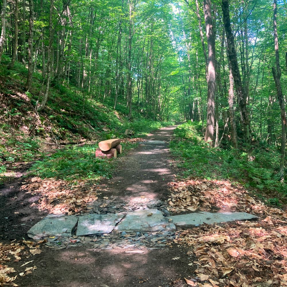
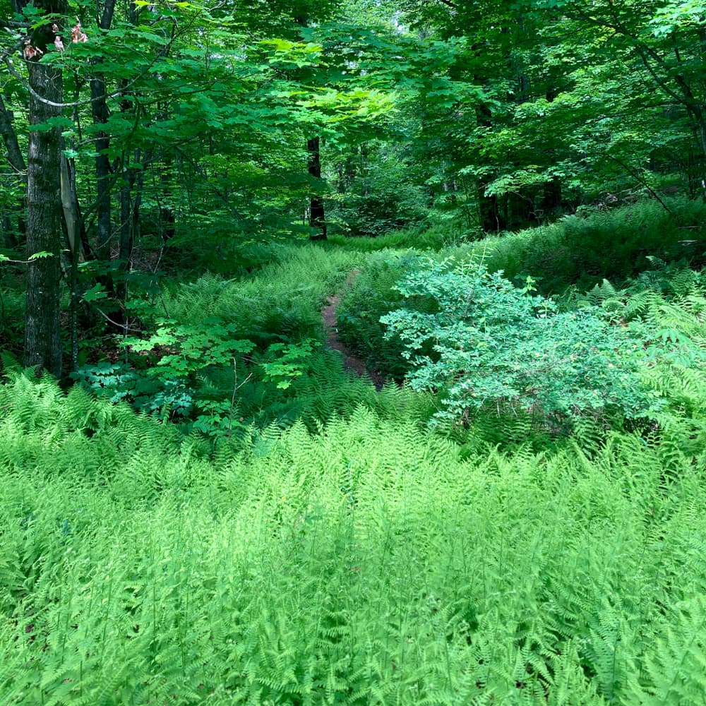
These multiuse trails are popular for mountain biking, hiking, and running, and include both singletrack and doubletrack options. The surface ranges from natural field and forest floor to gravel.
The trails are generally open year-round, except for mud season (late winter/early spring).
For additional information, visit the Town of Northfield website, or contact:
![]()
![]()
To get to Northfield:
From the North (Montpelier, Burlington) use I-89 South. Take exit 5 to VT-64 W in Williamstown. Continue on VT-64 W until you arrive at the intersection with VT-12. Turn right and follow VT-12 N in Northfield for approximately 2 miles to the center of town.
Coming from the South (Brattleboro, Keene NH) use I-91 North. Take exist 10B to merge onto I-89 North. Follow I-89 N until exit 5 to VT-64 West in Williamstown. Continue on VT-64 W until you arrive at the intersection with VT-12. Turn right and follow VT-12 N in Northfield for approximately 4 miles to the center of town.
There are five trailheads in the Town of Northfield that provide access to this trail system. Please prioritize parking at the Green Mountain Family Practice and Shaw Outdoor Center locations.
GREEN MOUNTAIN FAMILY PRACTICE TRAILHEAD
From the intersection of VT-12 and VT-64, follow VT-12 north for 1.7 miles. Take a slight right onto Crescent Ave, followed shortly by a right turn onto Paine Mountain Drive. Green Mountain Family Practice will be on the left. The trails begin behind the parking lot. Park in designated Town Forest spaces only.
SHAW OUTDOOR CENTER TRAILHEAD
From the intersection of VT-12 and VT-64, follow VT-12 north for 1.7 miles. Take a slight right onto Crescent Ave, followed shortly by a right turn onto Paine Mountain Drive. Follow the road for 0.2 miles to the Shaw Outdoor Center and park.
PAINE MOUNTAIN TRAILHEAD (FOREST ROAD)
From the intersection of VT-12 and VT-64, follow VT-12 north for 2.1 miles. Turn right on East Street, shortly followed by veering right at the fork onto Turkey Hill Road. Follow Turkey Hill Road for 1.5 miles and take a right onto Forest Road. Follow Forest Road to the trailhead at the end of the street. Note: there is NO PARKING at this trailhead. Parking is permitted along Turkey Hill Road.
CLARK ROUTE TRAILHEAD (BARROWS ROAD/KINGSTON ROAD)
From Depot Square, follow VT-12 south to the intersection with VT-64. Turn left and travel east for 1.3 miles, then take a left onto Barrows Road. Park along Barrows Road, near the intersection with Tamarack Farm Road and proceed on foot. Follow Barrows Road for 0.3 miles. Veer left onto Kingston Road. Follow Kingston Road to the trailhead at the end of the road. Note: there is NO PARKING at this trailhead. Please park only where noted along Barrows Road.
BYAM HILL TRAILHEAD
From the intersection of VT-12 and VT-64, follow VT-12 north for 1.9 miles. Turn right onto Prospect Street. Parking is permitted on Prospect Street. Proceed on foot to Byam Hill and follow to the trailhead at the end of the road. Note: there is NO PARKING at this trailhead or on Byam Hill. Public parking can be found in and around Depot Square. Depot Square is an additional 0.2 miles down Main Street.
Public parking can be found in downtown Northfield near Depot Square. Please utilize this parking if any trailhead parking is full, to avoid blocking residential driveways or yards.
The Lybrand Route is currently closed due to erosion from the July 2023 flooding.
Success! A new password has been emailed to you.