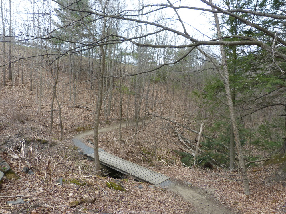
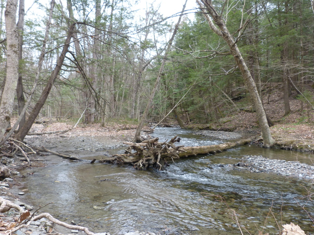
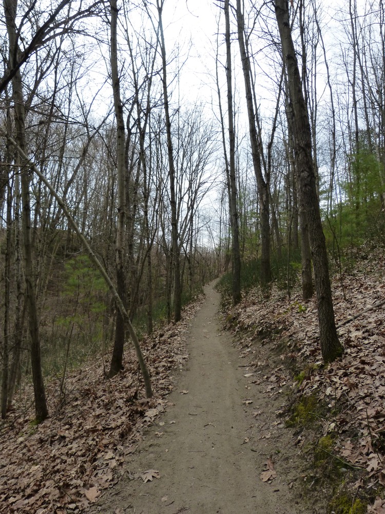
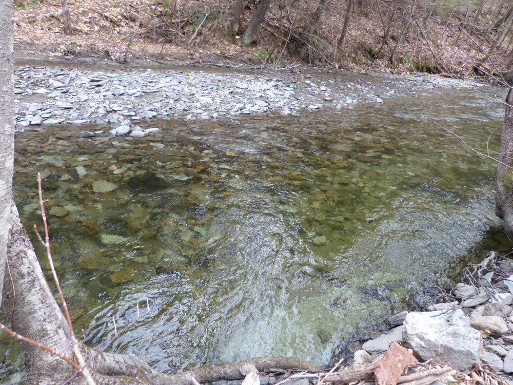
Charlestown’s oldest trail, first opened in 1969, used by the school for nature education; hence its name. The trail, 0.5 miles long, starts north of the firehouse, up over a ridge and down to Clay Brook, over the culvert and upstream, up a hill through a variety of habitats, including: the riparian buffer zone, hemlocks, hardwood, finishing in a pine stand. Once at Fling Road, if you look back over the brook, you’ll see the remnants of a grist-mill dam. If you don’t want to go out and back, you can turn left and head down Fling Road, past the town’s transfer station to Route 12, left again, and back to the firehouse. The total distance around is 1.5 miles.
Visit Town of Charlestown online for more information or contact:

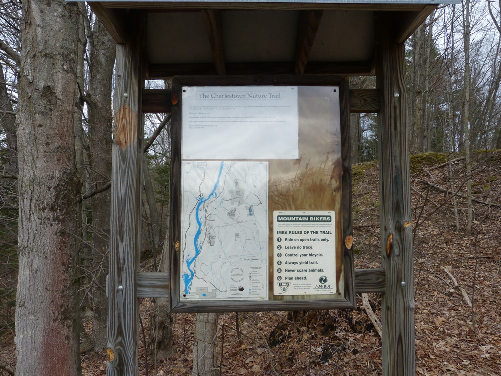
Trailhead and parking are located north of the Charlestown Fire Station. The trail kiosk is north across a small field.
Success! A new password has been emailed to you.