Tote Road (0.4 Miles)
The unblazed trail leaves from the trailhead at Plummer Hill Road, passing through a gate to a footbridge. Beyond the bridge, the Tote Road begins to climb steadily. After 0.3 miles the White Ledge Trail branches off to the right. Continuing uphill, the Tote Road passes through a wet area until it reaches a woods road on the right, at 0.4 miles. Beyond, the grade increases again and the trail ends at the AT corridor boundary, marked with yellow blazes.
White Ledge Trail (0.2 Miles)
After leaving the Tote Road, this orange-blazed trail crosses several gullies and a brook before arriving at the Four Corners, where it meets up with the Two Brooks Trail. To the left (east) the trail continues on the out-and-back White Ledge Trail, heading sharply uphill on the way out. After 0.2 miles, the confluence of two brooks provides a pleasant view.The trail then meanders until it reaches the White Ledges at the AT corridor boundary. Near this eastern boundary are the dramatic slabs of white stone that gave name to the trail. This outcropping of erosion-resistant quartzite forms the spine of Moose Mountain.
Two Brooks Trail (0.6 Miles)
This yellow-blazed loop trail begins and ends at the Four Corners and visits two of the headwater streams that feed Hewes Brook. The loop varies in steepness but is mostly moderate. Traveling clockwise, the trail leaves the Four Corners and proceeds south, joining an old woods road leading downhill. This connects with a second woods road heading uphill, until re-entering the woods at a small cairn. After 0.3 miles, the trail reaches a beautiful view of a brook near the southern boundary. Stone steps swing right from the viewpoint. The trail rejoins a woods road leading uphill before reaching a viewpoint of the brook just before returning to Four Corners.
GUIDELINES
NATURAL FEATURES
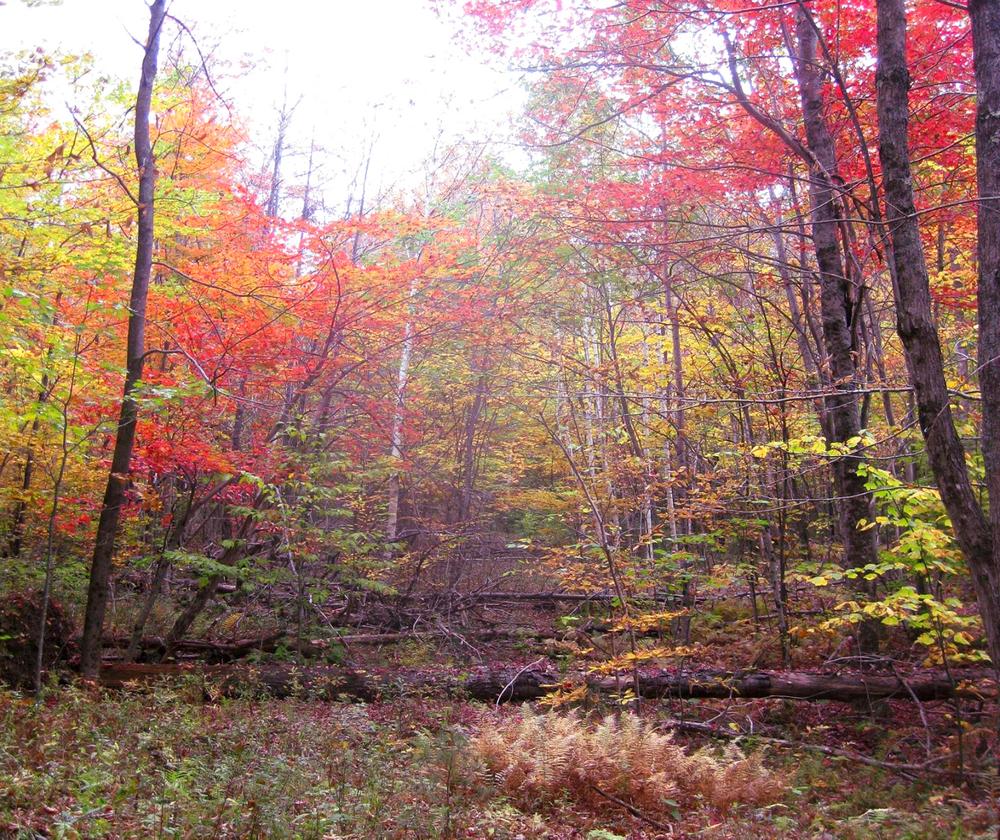
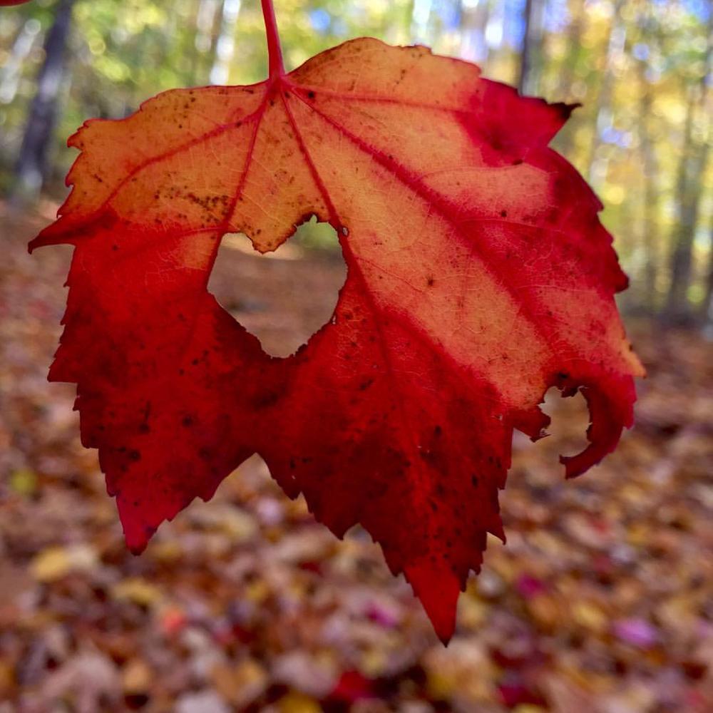
This forest is relatively young, and largely composed of deciduous northern hardwoods, such as red and sugar maple, red oak, beech, poplar, white ash, and white and yellow birch. You may spot star flower, Canada mayflower, trillium, wood sorrel, and Indian pipe on the forest floor. Birdwatchers should keep an eye and ear out for pileated woodpeckers, various owls, grouse, warblers and many others.
HISTORY
This land was settled by B. Smith before 1855 and by 1892 was part of the Barnes Farm. The homestead stood near the current trailhead. Historic stone walls indicate the land was once used for sheep pastures. Most recently, the land was owned by Michael and Elizabeth Mayor and John Niles from 1978 to 2015, who then donated it to be permanently protected by the Hanover Conservancy.
For additional information, visit the Hanover Conservancy website, or contact:

Head north from the center of Hanover on NH-10. 4.5 miles past the traffic circle, turn right on Goodfellow Road. Go 1.7 miles and take a left on Hanover Center Road. Go 0.5 miles and turn right on Ferson Road. After 1 mile turn left on 3 Mile Road, and go another 0.3 miles to Iby Road, on the right. There is a parking area by the trailhead 0.2 miles down Iby Road on the right.
Success! A new password has been emailed to you.