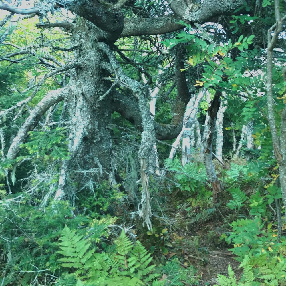
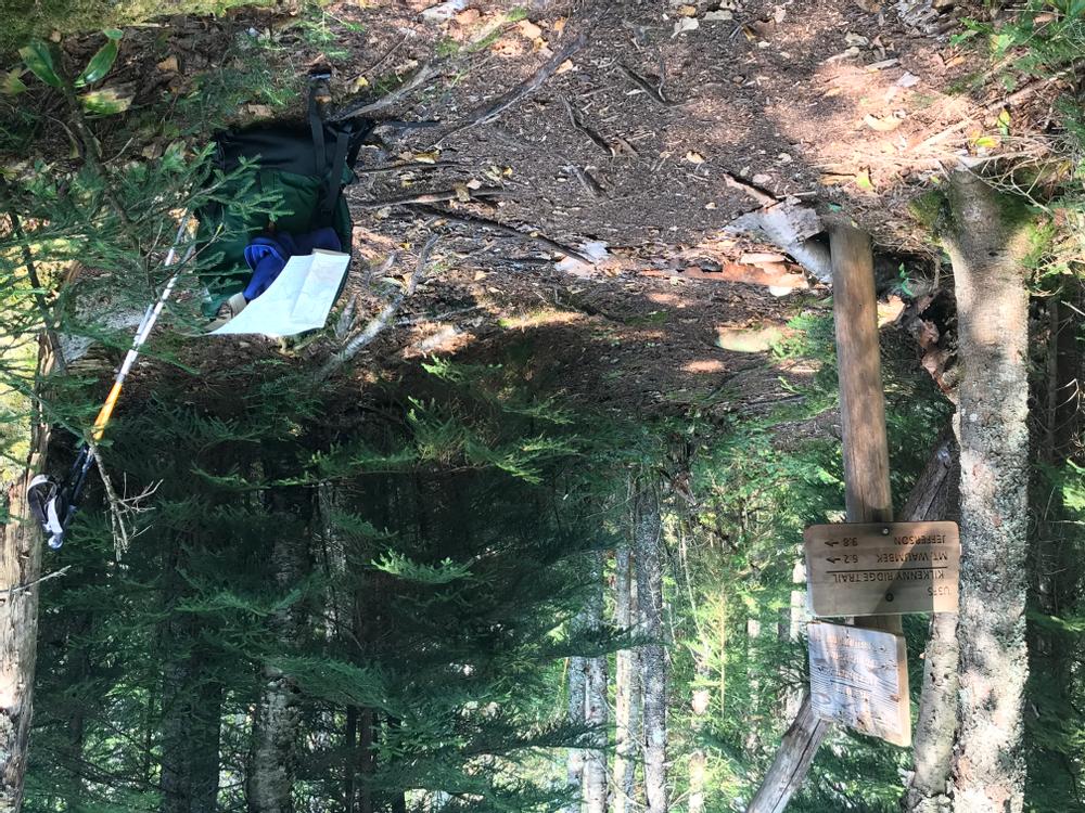
The Kilkenny Ridge runs over a mainly wooded spine from the village of Jefferson to South Pond in Stark. Although there are some viewpoints, notably at Mt Cabot and Roger's Ledge, the ridge is known more for quiet wooded trails and scenic mountain ponds than for the dramatic views found on other White Mountain ridge hikes. The ridge can be accessed from either end (see the Mounts Starr King and Waumbek and Devil's Hopyard postings for directions) or from four trails on the east side of the ridge. The ridge and its associated side trails offer options for long day hikes, a multi-day loop or point-to-point backpacking trips.
Mill Brook Trail - The 3.6 mile Mill Brook trail starts at the Berlin Fish Hatchery and meets the ridge at Roger's Ledge Tentsite. The trail generally follows Cold Brook as it climbs upward. This is the easiest access to the Roger's Ledge vista, which is 0.6 miles north on the Kilkenny Ridge trail from the junction.
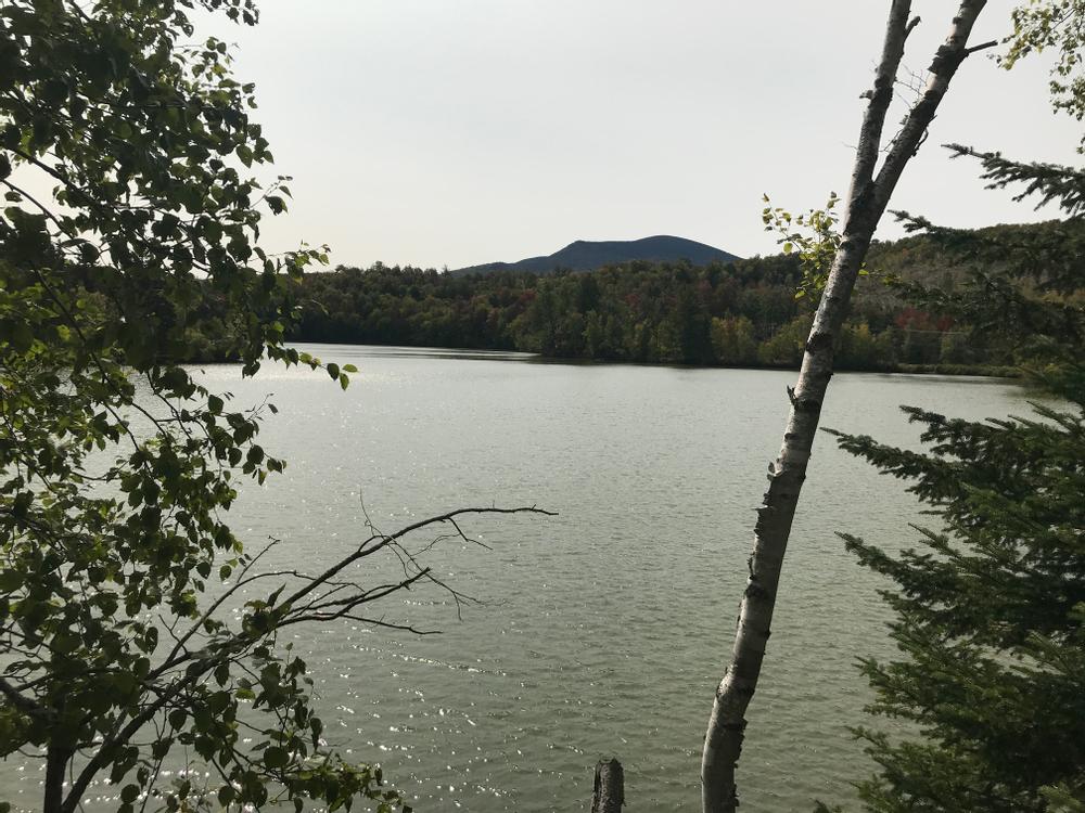
Unknown Pond Trail - The 3.2 mile Unknown Pond Trail starts at the base of No 9 Brook and meets the ridge at Unknown Pond, a remote high elevation lake. It crisscrosses a brook as it climbs toward the pond.
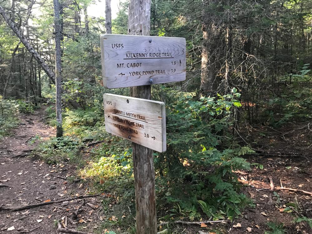
Bunnell Notch Trail - The 2.7 mile Bunnell Notch Trail diverges from the York Pond Trail 0.2 miles west of the trailhead. It meets the ridge at Bunnell Notch. This is the most direct access to Mt Cabot, New Hampshire's northernmost 4,000 footer, which is 1.6 miles north on the Kilkenny Ridge Trail from the intersection. There is a historical cabin just south of Mt Cabot's wooded summit.
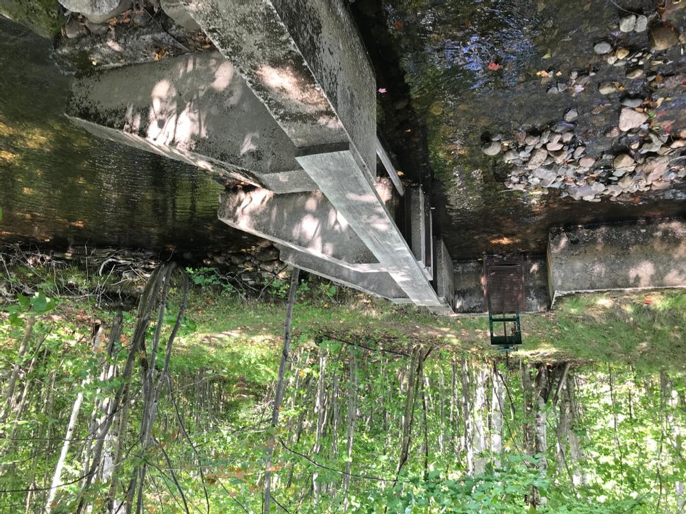
York Pond Trail - The 2.4 mile York Pond trail leaves from the trailhead on York Pond Road and meets the ridge at Willard Notch between Mount Weeks and Terrace Mountain. It crosses two streams and a dam before it climbs more steeply upward toward the notch.
Before you hike, know the hiker responsibility code and be prepared:
![]() Visit the hikeSafe website to learn more!
Visit the hikeSafe website to learn more!
Kilkenny Ridge is in the White Mountain National Forest. For more information, contact:
![]()
Mill Brook Trail - The Mill Brook trail leaves from the Berlin Fish Hatchery. From Berlin, head northwest on NH-110 for 7 miles. Turn left onto York Pond Road and proceed for 5.2 miles. The Fish Hatchery is on the right. The gate closes at 4:00 PM. Do not park beyond the gate. On foot, follow the road past the hatchery to where the trail diverges to the right.
Unknown Pond Trail - Continue past the Fish Hatchery on York Pond Road for another 1.7 miles. The Unknown Pond Trail leaves from a parking lot down a small drive on the right.
York Pond Trail - The York Pond trailhead is another 300 feet down York Pond road past the Unknown Pond Trailhead. There is limited parking in a pull-off or park at the Unknown Pond trailhead and walk down the road.
Success! A new password has been emailed to you.