Ferrin Pond Nature Preserve

A family-friendly hike with views of Ferrin Pond and many natural features to explore.
Trail Activity
Walking Hiking Mountain biking Snowshoeing Ungroomed cross-country skiing Horseback riding
Length
1.60 miles, Network
Difficulty
Easy
Town
Weare (NH)
Surface
Packed Earth/Dirt
Pets
Permitted on leash
Fees
No

Description

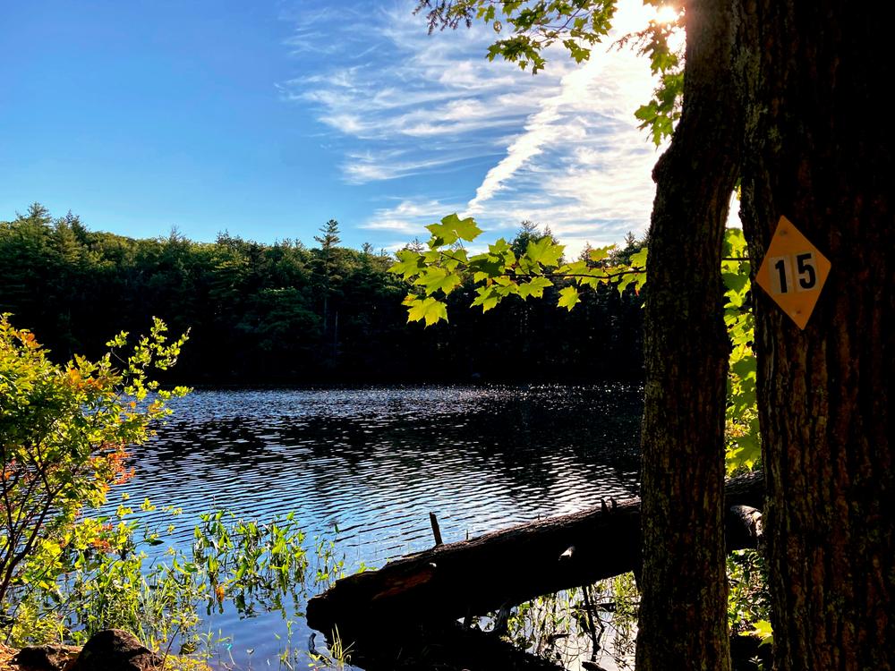
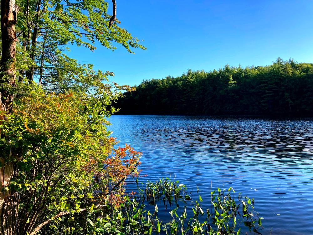
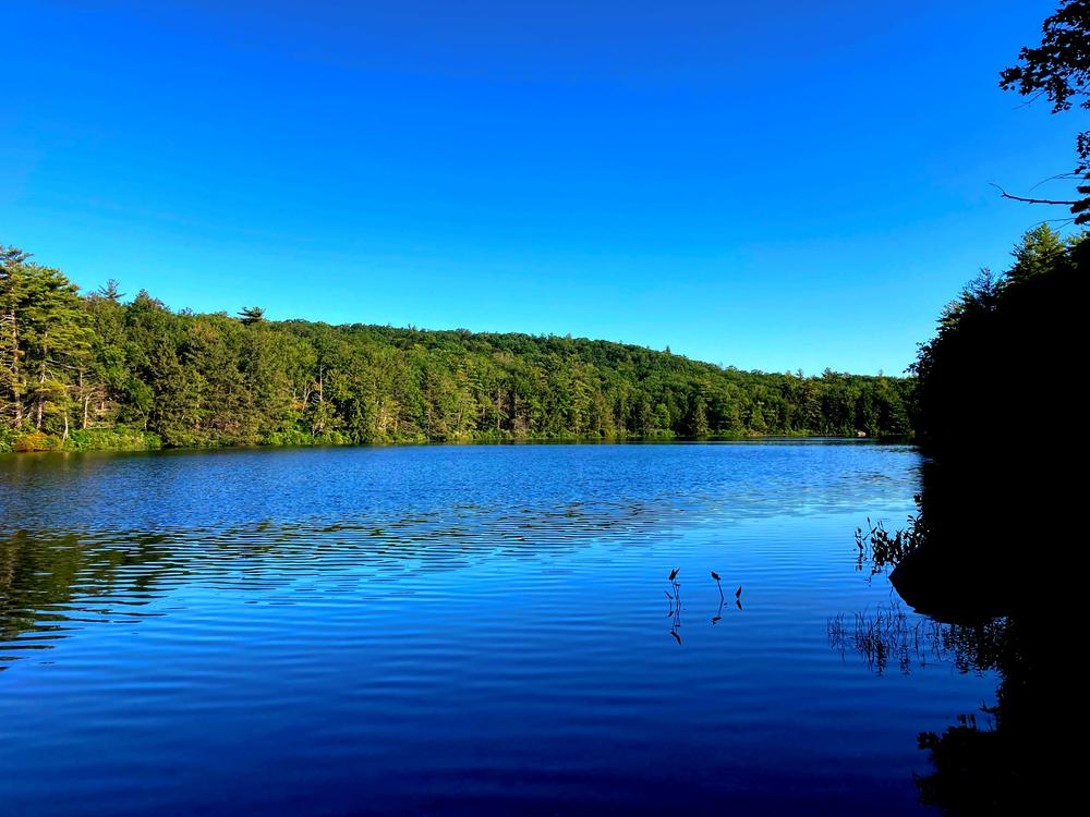
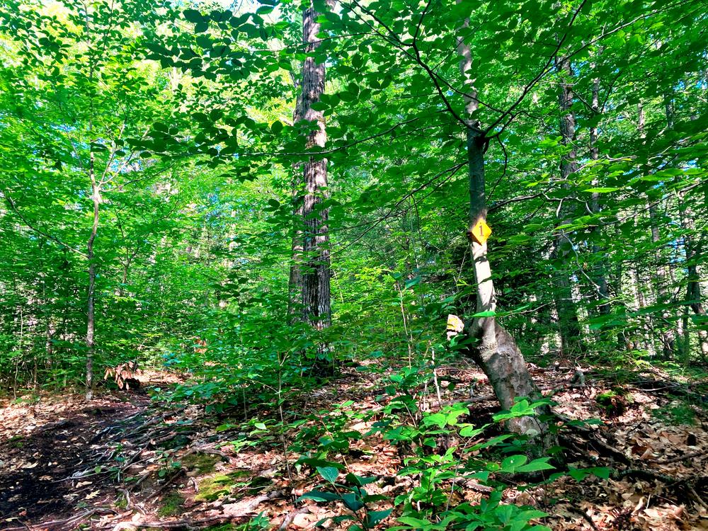
Ferrin Pond is a great family-friendly hike with numerous interpretive stations which correspond to a trail guide offering information about the land's natural features. A hike of just over a half-mile leads up through the woods to the the southern end of the pond. Both the southern and northern ends of the pond offer great views. From this trail junction at the south end, a loop of about a mile trail circles around the pond. Follow the yellow trail markers, which begin just beyond the boulder gate. The trail through the woods, the loop around the pond, and then back the same way through the woods, makes for a total hiking distance of 2.5 miles.

Other Information

GUIDELINES

Help us preserve the land!

  • Passive recreation allowed (hiking, mt. biking, xc skiing, horseback riding)
  • Stay on designated trail
  • Carry in, carry out, do not litter
  • No motorized wheeled vehicles
  • No camping or fires

View PLC's complete public use policies.

Trail Manager

For additional information, visit the Piscataquog Land Conservancy website, or contact:

Piscataquog Land Conservancy

Piscataquog Land Conservancy
5A Mill Street
New Boston, NH 03070
Phone: (603) 487-3331
plc@plcnh.org
View website

Trail Tips

Travel on Durable Surfaces
Walk single file in the middle of the trail. Wear the right shoes and enjoy the mud – you're in the great outdoors!
Legend
Hide All

Trailhead Information

From the junction of NH-114, NH-77, and NH-149 in Weare, take Route NH-149 W. Go 1.5 miles, and turn left on Perkins Pond Road (by dam and Perkins Pond). Go 0.5 miles to the four corners, and turn right on Mountain Road. Go just over a mile and watch for power lines. There is a pull-off for parking on the right where the power line crosses the road. From this parking area, walk approximately 0.35 miles down the dirt road to the trailhead, where the trail begins just beyond the boulder gate.

Click on a parking icon to get custom directions
Please Log In or Create Account to add comments.
These awesome businesses support our goal of connecting people to outdoor adventures!
Hang Tight!
Nearby services are loading
No Results
No Services Found
SHARE THIS TRAIL

Add Trail Log

Please wait…
Join In on the Fun!
Log in or create an account below to unlock all the great features of Trail Finder: keep track of trails you want to do, preserve memories of trails you’ve done, earn badges, and more!
Your log in attempt was not successful. Please try again.
    Lost your password? Reset your password
    Don't yet have an account?
    There was an issue with your submission. Please try again.
      * Indicates required field
      Already have an account? Login here
      Enter your username, and we will send you a new, randomly generated password to your email account.
      There was an issue with your submission. Please try again.

        Success! A new password has been emailed to you.

        Log in now

        Please wait…