From the south, the trail follows along the east bank of Nash Stream for its first half mile. The land in this area was heavily damaged by landslides when a former dam, about a half mile upstream of the trailhead, failed in 1969, releasing vast mounts of water that scoured the valley.
After reaching the height of land along the stream, the trail flattens briefly before falling rapidly down two drops, then crosses wet areas on bog bridges to a forest of tight spruce growth. Shortly past the bog bridges, at 0.4 miles from the trailhead, the trail reaches a junction with a spur to Devil's Jacuzzi, with a sign indicating such. This spur heads downwards to the left, leading to a natural formation in Nash Stream, three very small cascades pouring into a small pool to create a whirlpool of bubbles.
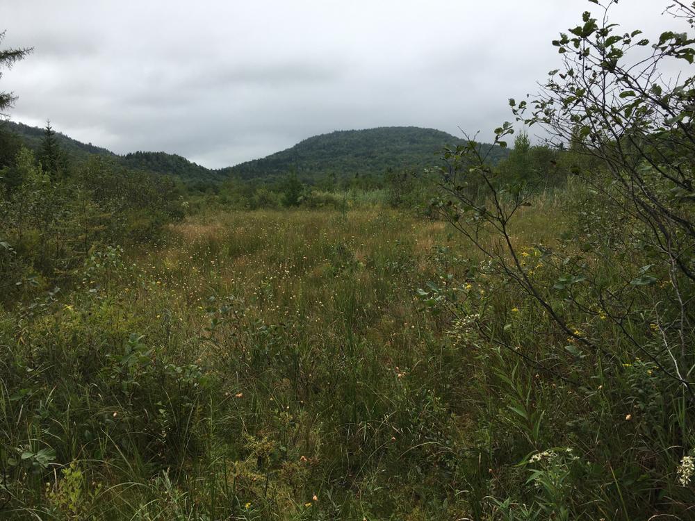
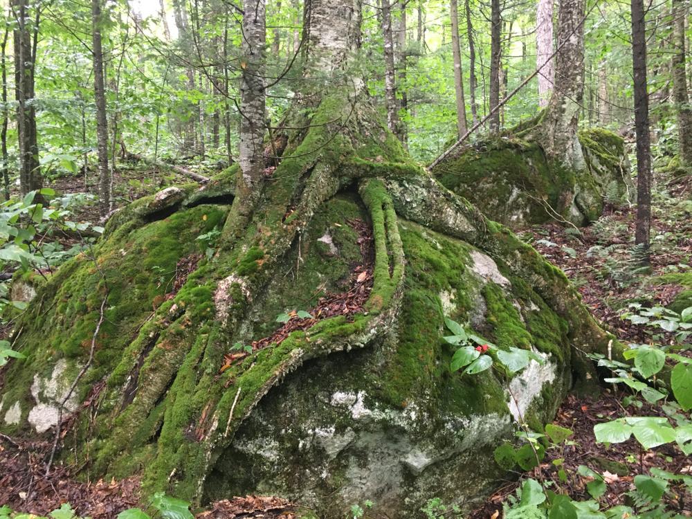
The main trail continues through the woods, primarily deciduous forests with interesting glacial erratics along the way, for another mile and a half before coming to Nash Bog, which the trail has been paralleling at a distance through the woods until this point. The open bog offers rustic and serene views of the surrounding hills. Past the bog, the trail turns right and parallels Pike Brook until it intersects with Nash Stream Road at the beginning of the Gadwah Trail.
From here, the same trail can be back-tracked to return to the trailhead, or a loop can be formed by returning via Nash Stream Road to the west for 2.7 miles, for a total distance of 5.5 miles. Alternatively, the Cohos Trail continues north through Gadwah Notch.
The Cohos Trail is a system of pathways and spur trails from southern Crawford Notch in the White Mountain National Forest through the Great North Woods to the Canadian border at far-flung Pittsburg, NH. Within this geography it stretches for 170 miles of wilderness hiking. To learn more about the Cohos Trail, visit their website, purchase the Cohos Trail Guidebook and support the organization.
For additional information, visit the Cohos Trail Association website, or contact:


Travel on US-3 north toward Groveton, 9 miles from the intersection of US-2 in Lancaster. Turn right on NH-110E and go 2.6 miles. Turn left on Emerson Road and go 1.4 miles, and soon after crossing the Upper Ammonoosuc River, bear right onto Northside Road. Go another 0.7 miles and turn left onto Nash Stream Road.
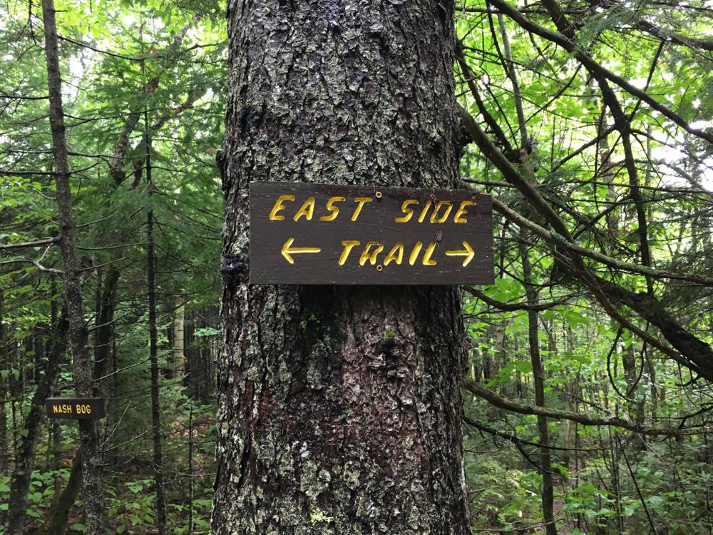
Drive 8.2 miles on Nash Stream Road. Just before a bridge over Nash Stream, there is space for a couple cars to park along the roadside by the trailhead on the right. Look for the East Side Trail sign that marks the trailhead, at the base of a stone stairway.
Automobile access to these trailheads is only possible when the Nash Stream Road Gate is open, typically from Memorial Day into November.
Success! A new password has been emailed to you.