
Whether you are looking for a moment of tranquility, a chance to catch a glimpse of elusive wildlife or the opportunity to breathe fresh air, there is a place on trails for everyone. As people of all abilities seek outdoor experiences, trail managers have been building an increasing number of trails to universal accessibility standards. These trails provide access for all to enjoy Vermont’s natural beauty and learn about its cultural history. Below are some of our particular favorites from across the state.
Trail Finder tip - For places with trail networks, you can see which trails are built to accessibility standards on our trail map tab by clicking Legend > Uses > Accessible Experience. The accessible trail will be highlighted in yellow. For more tips on finding accessibility information, click here.
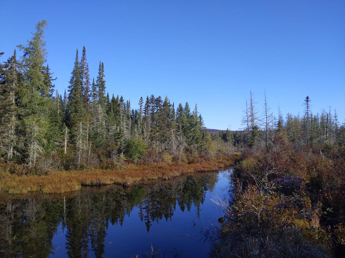
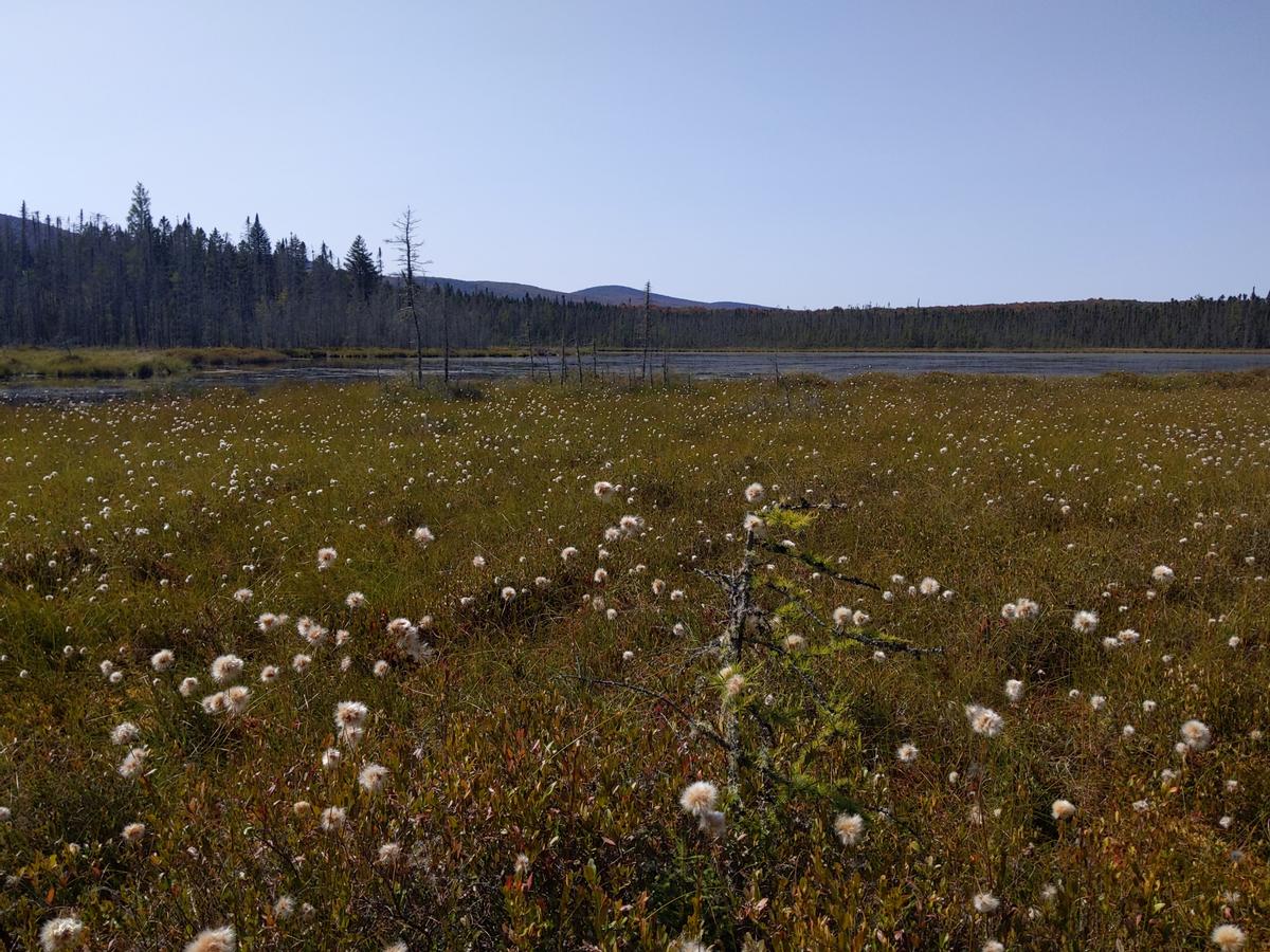
As you drive into Victory State Forest and Victory Basin Wildlife Management Area, it feels like you are being teleported 200 miles north into the boreal forest. The large wetland, protected as a Wildlife Management Area (WMA) for wildlife watching, hunting and fishing is prime habitat for northern species that are rare elsewhere in Vermont, such as Spruce Grouse, Black-backed Woodpeckers and Olive-sided Flycatchers. Moose and beavers as well as brook trout also thrive in the area. The
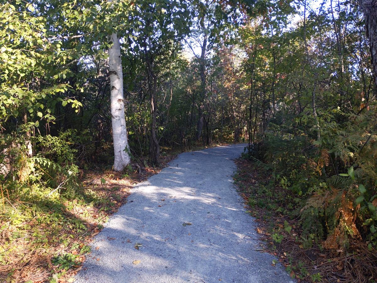
Damon’s Crossing Trail leaves from the accessible parking area at Damon’s Crossing, where Bog Brook enters the larger Moose River. The 4+ foot wide trail with a compacted gravel and boardwalk surface heads through edge forest and wetland to a wildlife viewing platform. We highly recommend visiting the Damon’s Crossing Trail early in the day for a chance to enjoy the early morning bird chorus in spring and summer - and maybe even spot a moose!
With opportunities to hike, bike, ski, snowshoe, ride horses, camp and fish, Little River State Park is an outdoor recreation paradise perched along the Waterbury Reservoir and the Winooski River. It is also a haven for Vermont history. The Camp Smith Trail, which leave from the Camp Smith accessible parking area across from the granite monument and approximately 1 mile before the park gate, loop around an historic Civilian Conservation Corps (CCC) camp. After floods in the late 1920s, the CCC set up the camp to build a flood control dam. The compacted gravel pathways travel through the area where the over 2,000 men who worked with the CCC lived while they built the dam. Interpretive panels share the history of many sites along the pathway.
Raven Ridge, a ridge of calcareous cliffs, outcrops and caves that stretches from Lewis Creek south to a large wetland complex in Monkton, is a haven for a diverse array of wildlife species, from bobcats to Indiana bats and 142 bird species. Conserved by The Nature Conservancy in partnership with the Vermont Land Trust and the Vermont Housing and Conservation Board, the parcel protects not only the ridge, but also the diverse wetlands on its southern end. The 5-foot wide boardwalk and compacted gravel trail starts across the street from the accessible parking area on Rotax Road. It then heads north to a viewing platform over a beaver pond. Raven Ridge is a great place to visit at all times of the year, but the amphibian chorus during spring evenings is particularly spectacular.

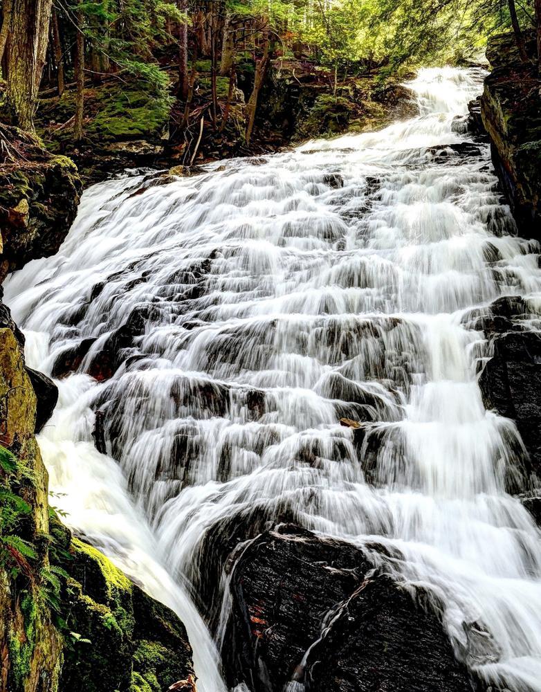
Kent Brook plummets 140 feet as it creates the breathtaking Thundering Falls near Killington. It is spectacular at high water in the spring and early summer. To get to the falls, park at the accessible lot on River Road, then follow the boardwalk to a set of switchbacks up to a viewing platform of the falls. The trail section to the falls was built to universal accessibility standards. This small section of trail is part of the 2,190-mile Appalachian Trail that stretches from Maine to Georgia. The founder of the Appalachian Trail, Benton Mackaye, came up with the idea for the longest hiking-only trail in the world, while on the Long Trail on Stratton Mountain in southern Vermont. Check out the white blazes that lead north and south for many more miles as you take in the view of the falls.

The Mississquoi National Wildlife Refuge, which sits at the outlet of the Mississquoi River into Lake Champlain in northwest Vermont, provides opportunities for birding across a diverse set of habitats. The Discovery Trail, which leaves from Refuge Headquarters off of Tabor Road, loops through many of those habitats, including through grasslands where the robotic song of bobolinks can be heard in the spring and a wet hardwood forest where northern waterthrush warble their flutey song. The trail then travels past the edge of Maquam Bog, a large bog and wetland complex with many bird species. The trail is boardwalk and compacted gravel (be aware that some grass encroachment has occurred in the gravel sections). Mississquoi National Wildlife Refuge is a great place to visit during spring and fall migrations. However, please note that many of the trails, including the Discovery Trail, are closed during fall deer rifle and muzzleloader hunting season.
At one-mile round trip, the Moose Bog Trail is one of the longer accessible trails in the state. It starts from South America Pond Road just off of VT-105 in Ferdinand and travels along a ridge before descending on switchbacks to a boardwalk into Moose Bog. The first section of trail offers many chances to listen and look for the diverse birds found in the area, many of which, like the Spruce Grouse, Gray Jay and Boreal Chickadee, are boreal species that are relatively rare in Vermont.

Moose Bog itself is a black spruce bog with many interesting plants, including fascinating carnivorous plants such as the pitcher plant and sundew. Visit in late September for a chance to see fall colors in the forest as well as the bog.

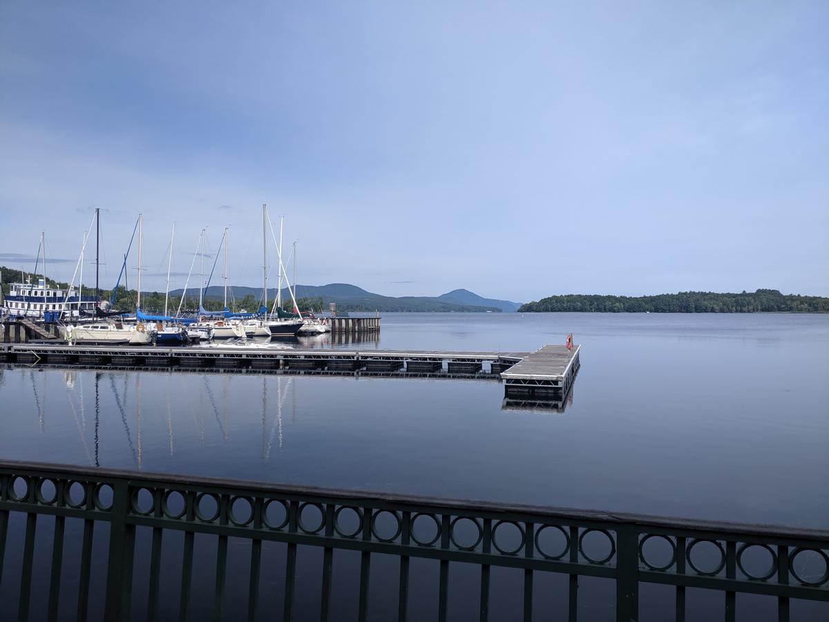
Newport is perched on the edge of Lake Memphremagog and the Newport Boardwalk takes advantage of the beautiful views and fresh lake air. The boardwalk goes from the Newport City dock to Pomerleau Park, and there are plenty of benches to enjoy the view over the lake as well as picnic areas where you can share an outdoor meal. There are accessible parking spaces at Pomerleau Park.
The trail continues across the bridge to the north as either a narrower gravel section along the shore (not universally accessible), or as the paved Newport Bike Path. Check out the kiosk for the Northern Forest Canoe Trail, a water trail that passes by as it goes from the Adirondacks to northern Maine. Visit in the summer for the delectable chance to eat an ice cream cone while enjoying a cooling lakeside breeze.
There are many other accessible trails across the state (and across the river in New Hampshire). Check them out below and let us know if there are any we are missing!
Success! A new password has been emailed to you.