FROM TIBBETTS ROAD TRAILHEAD
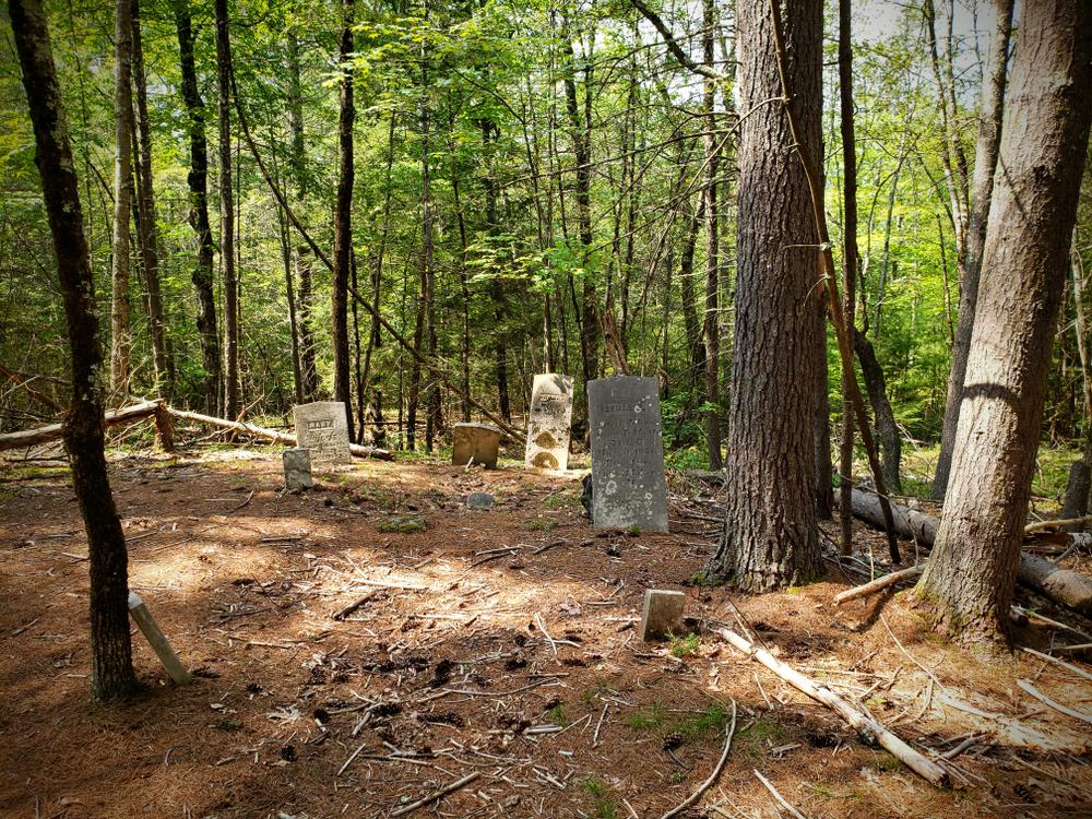
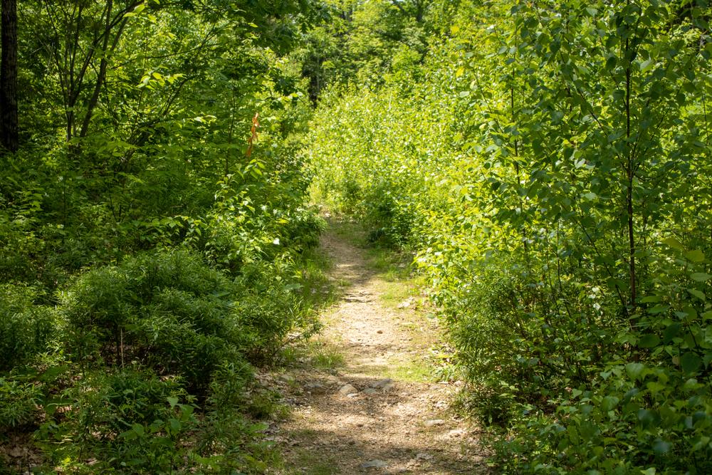
The backbone of the SATWaSR trail system is Tibbetts Road, generally accessed via the parking lot off of Hall Road. There are several side loops from the Tibbets Road Trail. A few examples the SB and Black Gum Trails, the Cemetery Trail and Conifer Way, and the Highland and Cedar Swamp Trails. An old cellar hole, an old cemetery, and several NH Big Tree Program trees can be seen on these trails.
ROUTE 125 TRAILHEAD
There are several loops from the parking area, involving Rabbitat Road, the Cottontail Trail, Tibbetts Road, and the Cedar Swamp Trail.
FROM CARRIAGE RUN ROAD (labeled as France Rd Ext on Google Maps)
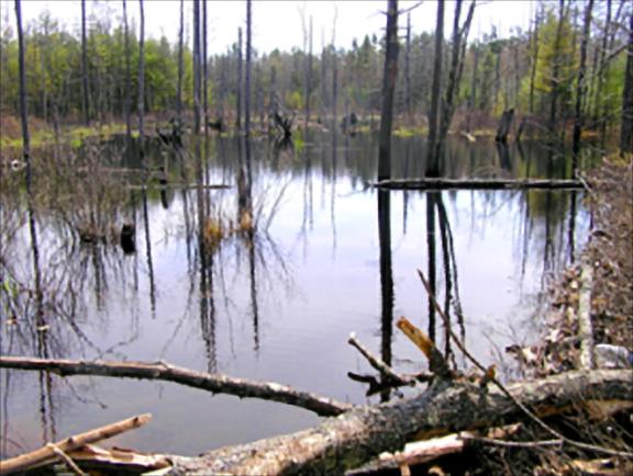
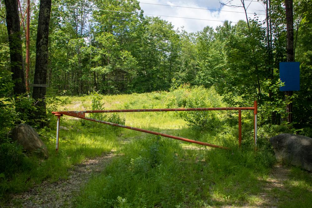
Carriage Run Road is partially designated as a class 6 road and in part as a trail. It travels through forested areas, across the power line, and ends at a group of houses off US-4. As of 2020, plans are underway to connect Carriage Run Road to the rest of the SATWaSR network, currently separated by a large wetland complex, and to the nearby conserved area on Brasen Hill Farm.
PLEASE NOTE
Snowmobiling is restricted to Tibbetts Road and the power line.
COTTONTAILS
In the fall of 2015 many locals were alarmed by a multitude of logging trucks entering and exiting SATWaSR from its entrance on NH-125. This was not the despoiling of an iconic New Hampshire woodland, but rather the creation of habitat to protect a species in peril, the New England Cottontail Rabbit. It is referred to as “Rabbitat!”
At that time, the rabbit was close to being declared a federally endangered species (not the case presently). The Natural Resource Conservation Service, a division of the USDA, funded the project. The cottontail requires early successional habitat, such as low brush and shrubs, in order to thrive. This type of landscape was common in New Hampshire a century ago, but as fields and pasture have reverted to forest it has become increasingly rare.
On SATWaSR nine separate areas ranging in size from about 2-15 acres were heavily logged in order to create this kind of habitat. The loggers left slash and debris behind to create the structure that rabbits and other small animals need in order to hide from predators. On a rotating schedule the areas will be recut every 5-10 years in order to keep this type of habitat available.
Hikers in this area will see a vision of what much of New England looked like in the late 19th and early 20th century, although at that time most of the open areas were reverting from sheep pasture and farm rather than forest.
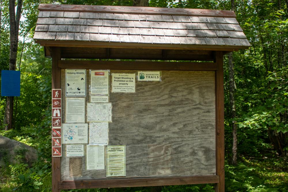
For additional information, visit the Barrington Conservation Commission and Trails Committee website, or contact:
Barrington Conservation Commission and Trails CommitteeTIBBETS ROAD TRAILHEAD
From US-4, head north on Hall Road. Go 2.3 miles and take a right onto Tibbetts Road. Or from the north, head west on on Beauty Hill Road from NH-125. Go 0.9 miles and take a left on Hall Road, then 1.5 miles to Tibbetts Road on the left. There is a parking lot by the trailhead at the end of Tibbetts Road, 0.2 miles from the turn off Hall Road.
ROUTE 125 TRAILHEAD
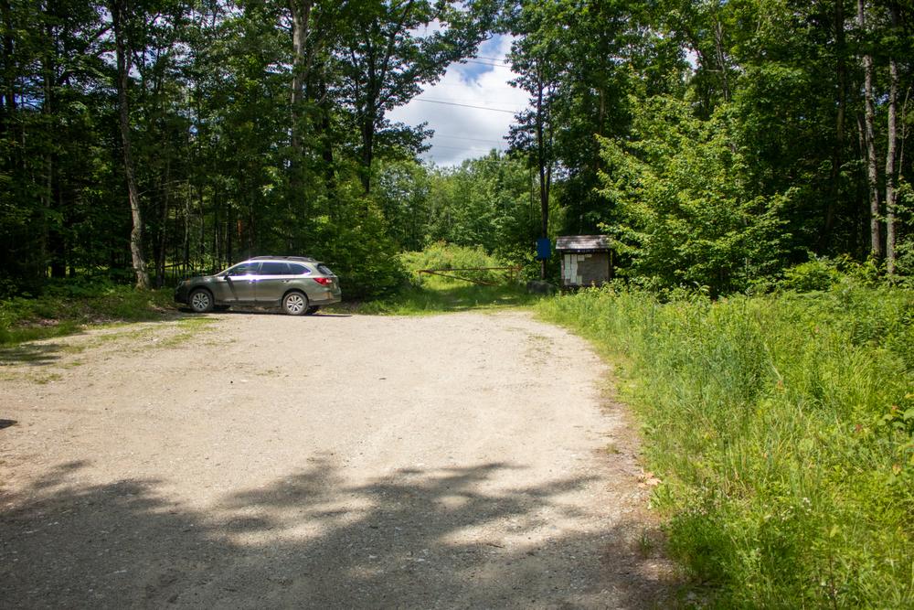
From the traffic circle in Lee, head north on NH-125. Go 1 mile to the trailhead on the left (west) side of NH-125. From the north, the trailhead is on the right of NH-125, 3.5 miles south in the intersection with NH-9, or two miles south of the intersection with Beauty Hill Road. There is a parking lot at the trailhead, by a green town boundary sign.
Please note: the parking areas are not generally plowed in winter.
Success! A new password has been emailed to you.
