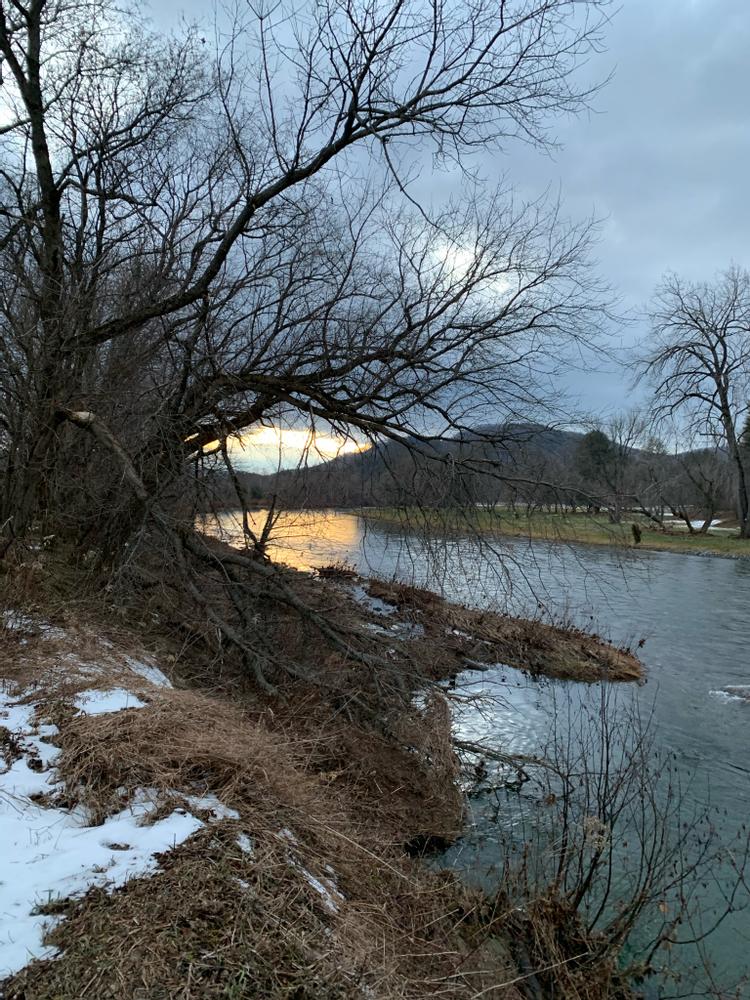
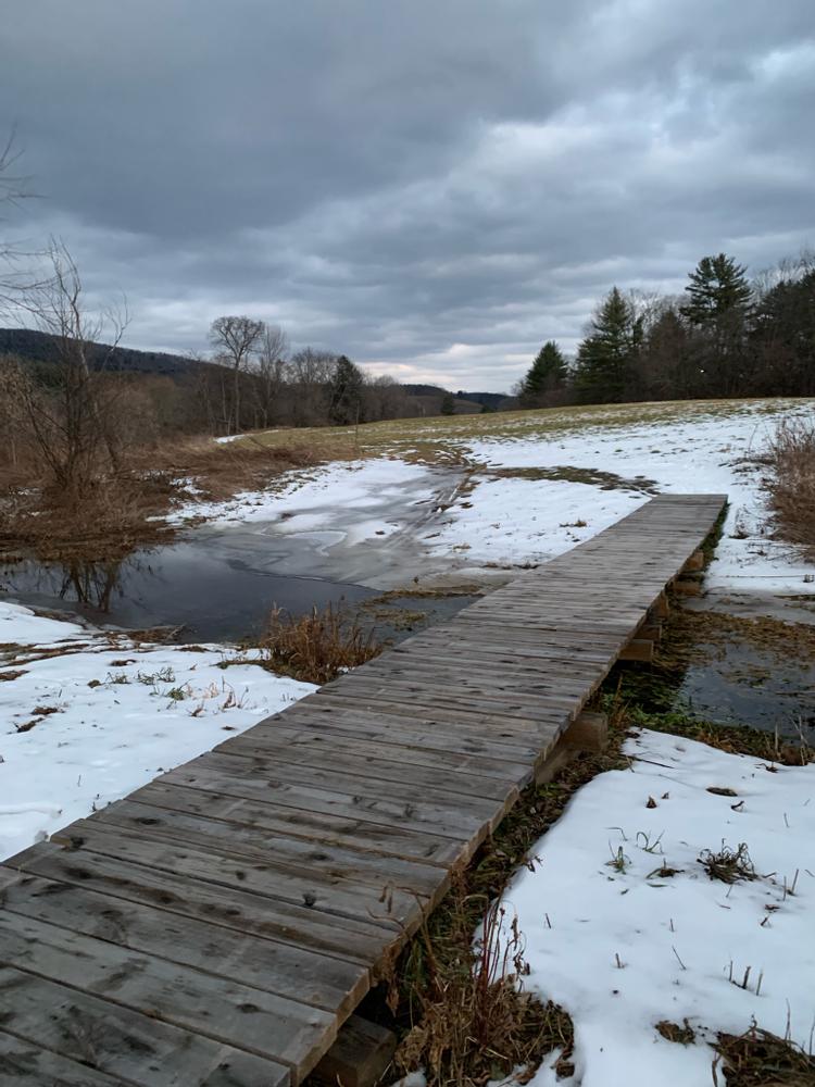
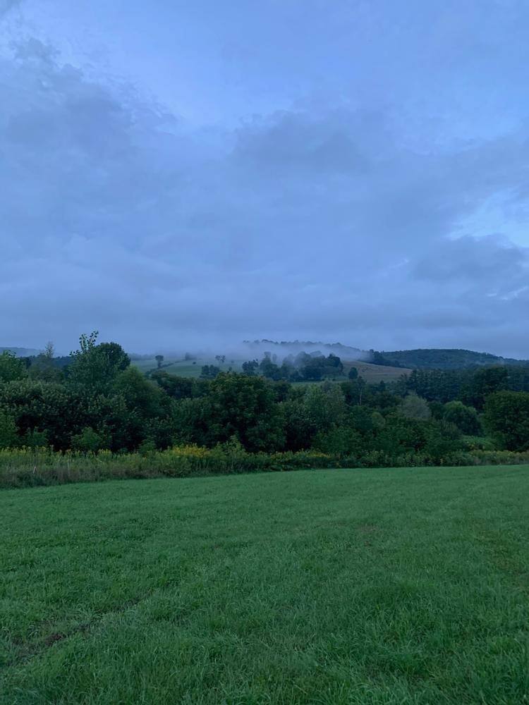
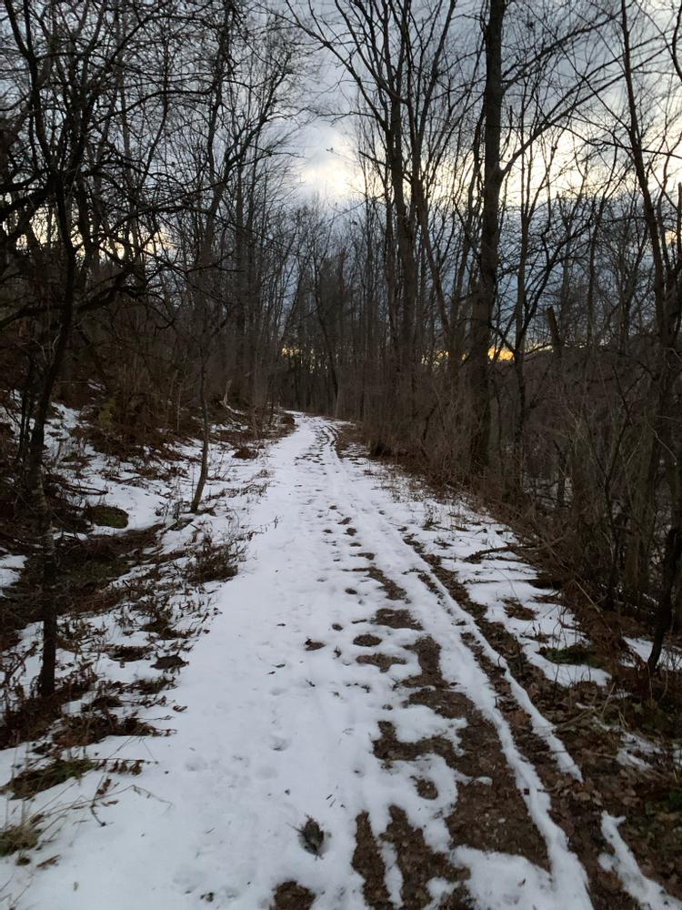
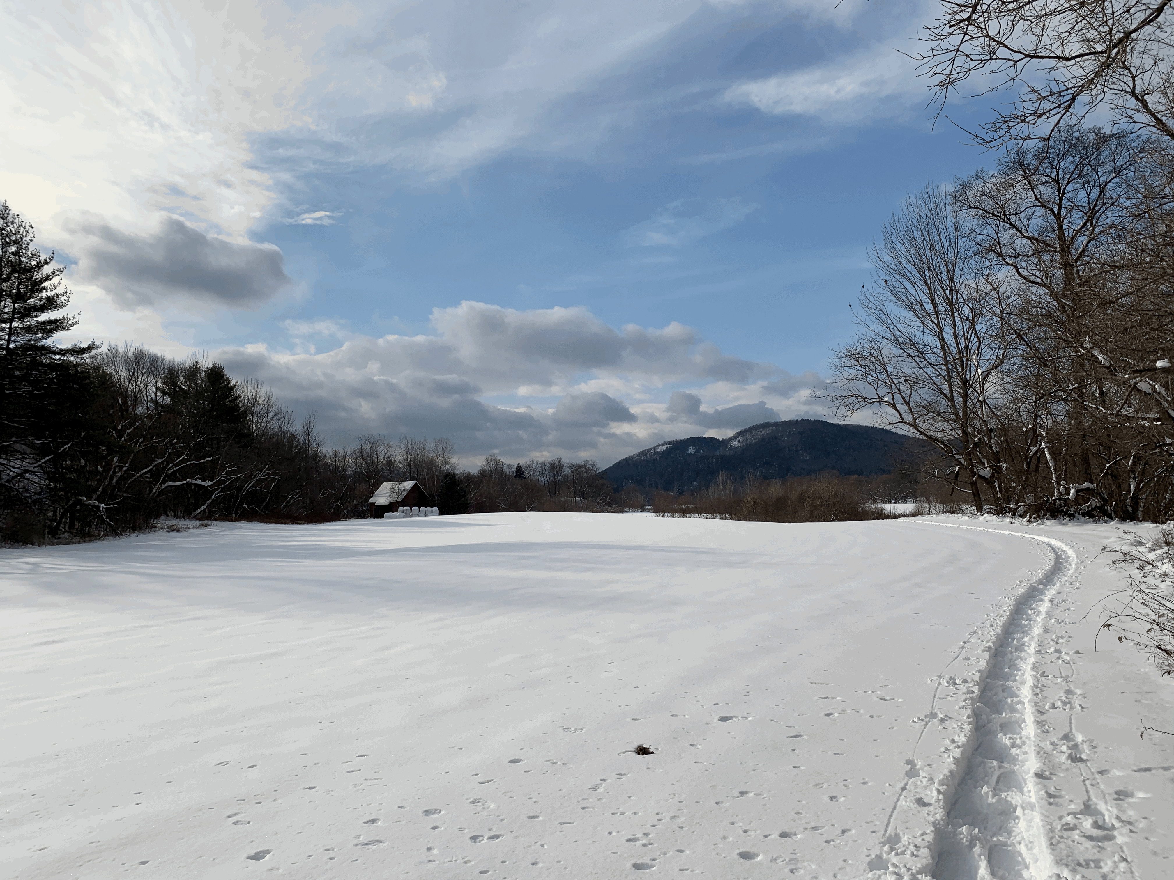
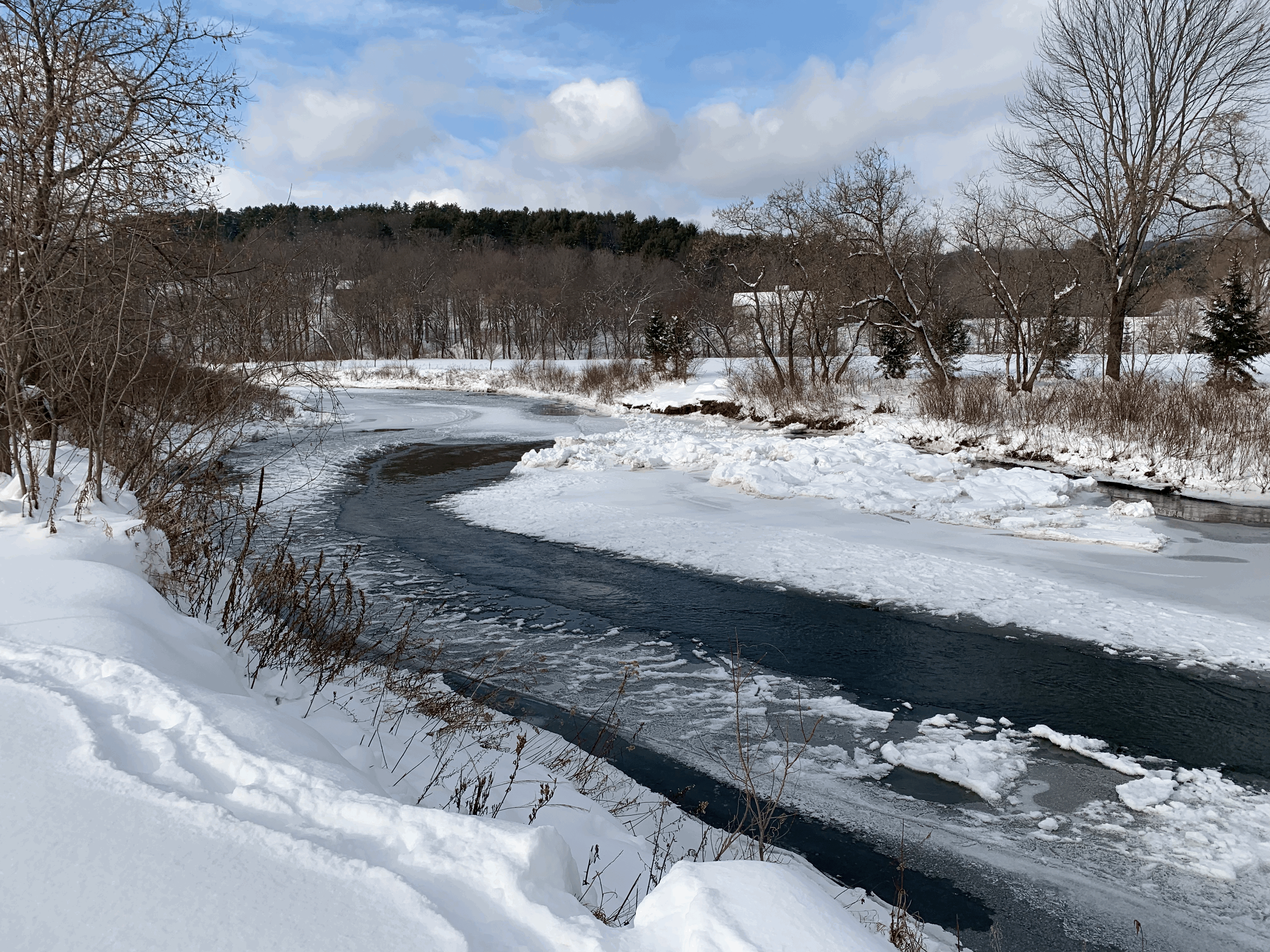
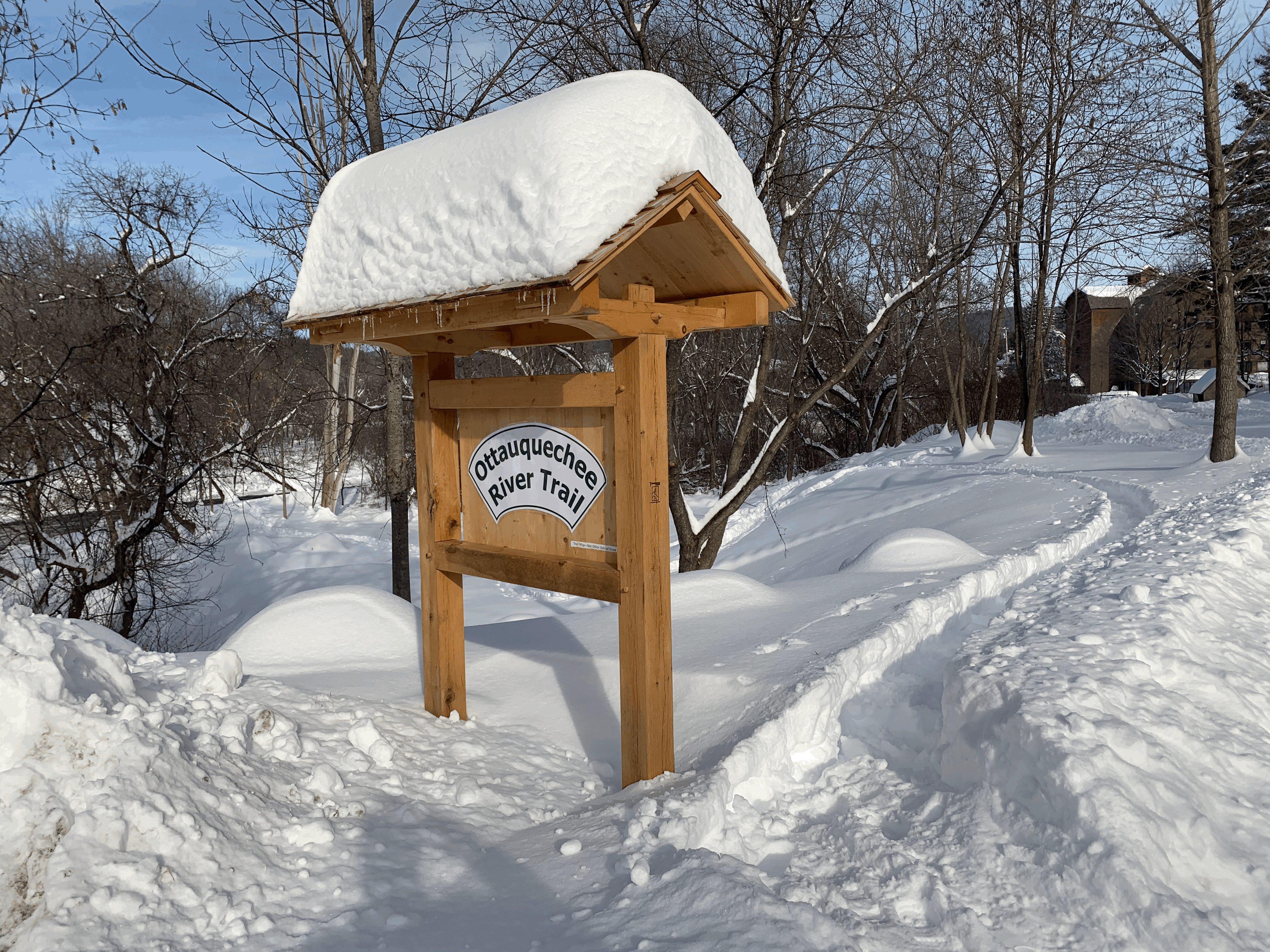
The Ottauquechee River Trail is a mostly flat hike leading you through a beautiful riparian ecosystem. The path follows the riverbank, skirting beautiful fields on a mowed edge, and provides several river view points before returning through lovely wooded areas and fields. Enjoy the flora, fauna and mountain scenery and don't forget to look down as well. Parts of the trail follow the old railroad bed, laid 150 years ago, to transport passengers, freight, and goods between Woodstock and White River Junction.
The trail not only provides views of the Ottauquechee River, but also across the river to the Billings Farm & Museum’s pastoral grounds and other historic mansions and fields on River Road, the primary 19th century roadway into Woodstock.
As you walk the 6-foot wide, relatively flat packed dirt trail, it follows the meandering path of the river with stunning perspectives of Mt Peg and Mt Tom impossible to find anywhere else in Woodstock.
The trail was created as a true community initiative thanks to Tom Weschler leading a large and committed team of volunteers.
Trail conditions can change without warning. Trail last assessed: 8/22/2024
Please also visit the rest of the Historic Village of Woodstock and its many wonderful shops and restaurants. You are also only minutes away from Billings Farm and Museum and Marsh-Billings-Rockefeller National Park where you can experience more natural beauty and find out about how Woodstock inspired some of our country's most influential conservationists and environmentalists.
Also, please be sure to take advantage of beautiful East End Park which is located at the trailhead. This public park has several beautiful stone features, including a labyrinth, amphitheater and some large climbing stones leading up to a slide. The park is beautifully landscaped and has many picnic tables with views of the river, surrounding hills and the fields.
For more information, contact:
Ottauquechee River Trail CommitteeFollow US-4 east out of Woodstock village, then take a left on to Maxham Meadow Way at the "East End Park" sign. Park above East End Park; the trailhead is at the east end of the Park.
Success! A new password has been emailed to you.
